Training objectives
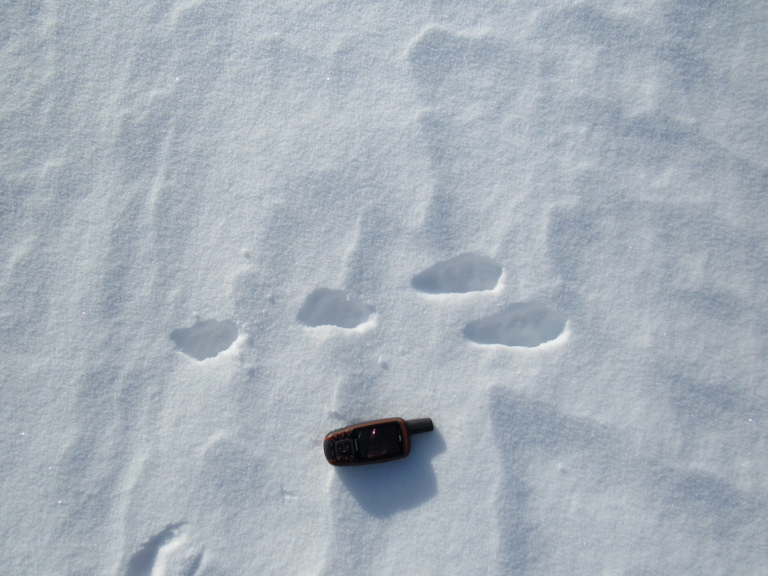
- Being able to select the natural elements and methods necessary to orient oneself in situations where a map or compass is not available.
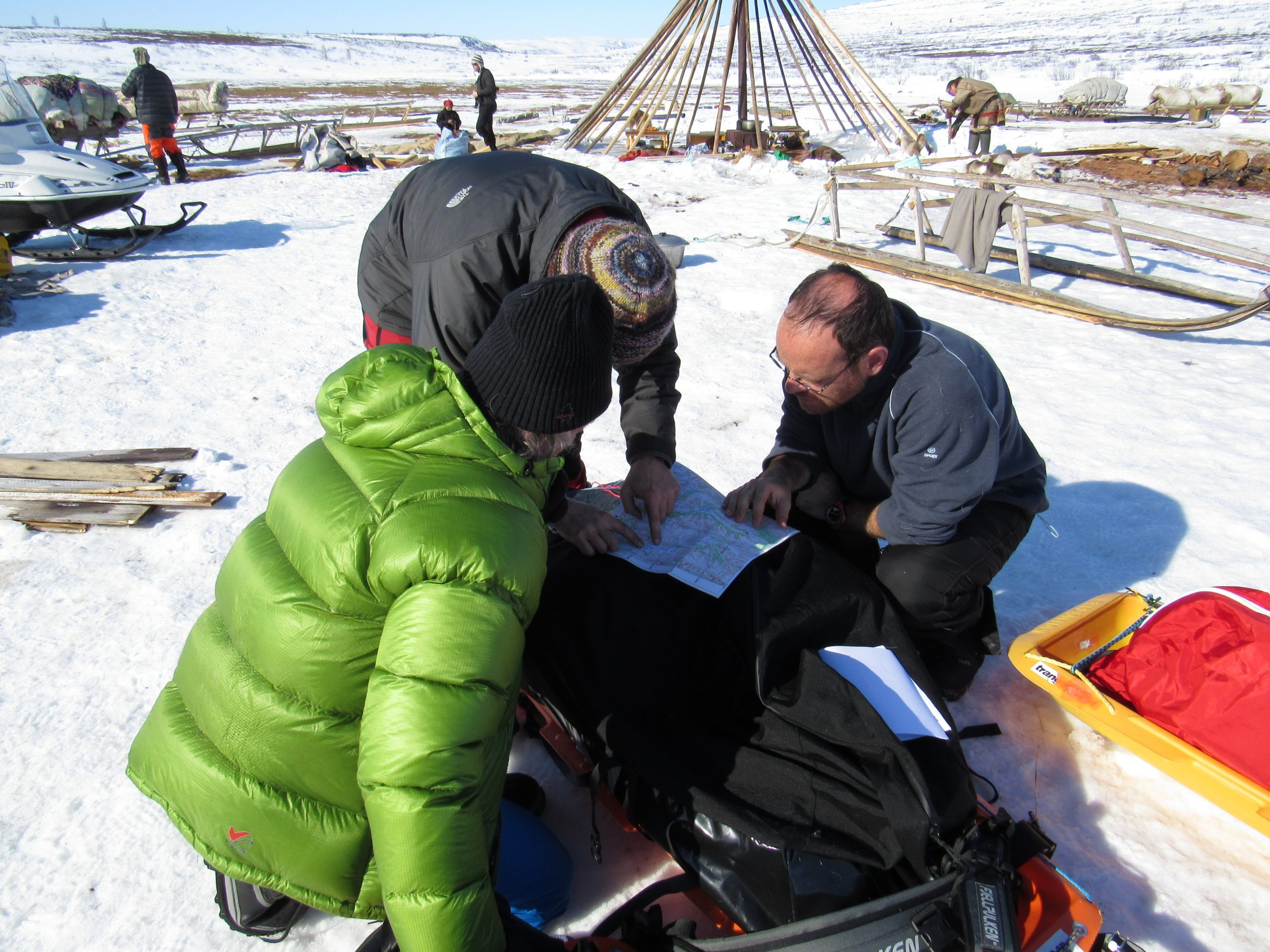
- Being able to locate geographical features or elements of the terrain from a map.
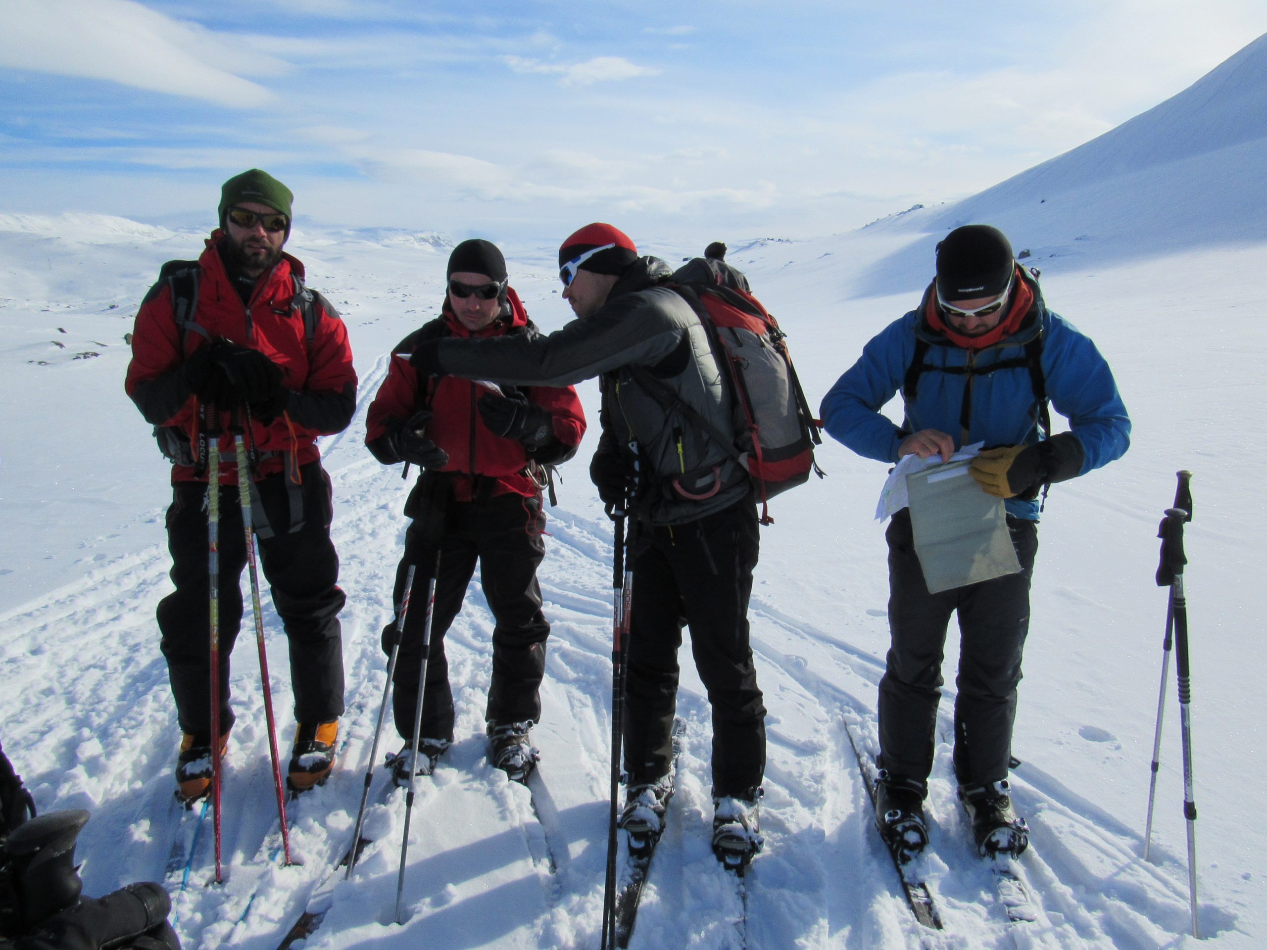
- Determine positions on the map, from the orientation instruments.
- Determine the course to be followed, based on the navigation instruments, according to the destination or established itinerary.
- Recognize local, national or international trails and itineraries in the area, based on direct observation.
Training contents
Introduction:
Orientation is one of the key tools not only in hiking or mountaineering, but in many other activities that take place in the natural environment. Knowing how to interpret a map is essential to be able to plan an outing, or to progress properly on the ground. It is in short, an essential element of security.
A path can fade, milestones disappear, fog or night surprise us.
Our knowledge should enable us to take a route that we have never done before.
For all these reasons, knowing how to orient oneself in nature is essential for all people who carry out their activities in wild places, from a hiker or amateur mountaineer to an explorer or professional mountaineer
Audience:
Anyone who frequents the natural environment and wants to get started in this matter.
Contents and activities:
Basic Concepts: Projection Systems, Coordinate Systems, Datum,
Maps: Types of maps, Scales, legends, contour lines, landforms, distances, slopes and profiles.
Introduction to planning: Time calculation, observation points, decision points, alternative routes, points of interest.
The Geographic North, the Magnetic North, the Magnetic Declination. Directions: Course and Azimuth
Guidance by estimate
The Compass: Characteristics and its Use
The altimeter as a tool for orientation
Precision navigation
Directions and against directions
Alternative targeting methods
- +14 years
- No prior training is required. Just interest, desire to learn and share.
- Physical conditions: being able to walk two days, with a positive difference in altitude of 700-800 m and a route of about 10 km per day.
- Respect the natural environment in which we will develop the activity, often natural parks with their own legislation that we must comply with.
- - Clothing suitable for activities according to weather conditions
- - Personal equipment: Sunglasses, sunscreen, personal hygiene kit
- - Campsite: Adequate sleeping bag and mat, kitchen material (There is the possibility of sleeping in the shelter)
- - Any questions, please contact us. Interested parties will be sent a list with the recommended material depending on whether they sleep in a shelter or not.
- 7 hours of theory in the shelter / classroom
- Accommodation at the Amaroq Explorers Base Camp
- 12 hours of practice
- Amaroq Explorers Guide
- Notes
- Navigation material (Map, compass)
- Accident and RC insurance
- Taxes
- Displacement of students
- Overnight at the refuge (the night of the field trip)
- Meals
- Everything that is not specified as included
- 160 €/pax
-
09:00
Welcome to the Amaroq Explorers Base Camp
Presentation
Start of Theory -
14:00
Lunch break
-
15:00
Theory
-
18:00
Resolution of doubts
Preparing the team for the field trip -
19:30
Rest
-
20:30
Dinner
Overnight at the Amaroq explorers Base CampBreakfast
-
07:00
Breakfast
-
09:00
Departure to the practice area
-
10:00
Arrival at the practice area
Start of the activity
-
08:00
After Breakfast, starting the activity
-
14:00
Arrival to vehicles
Program completion
Farewell